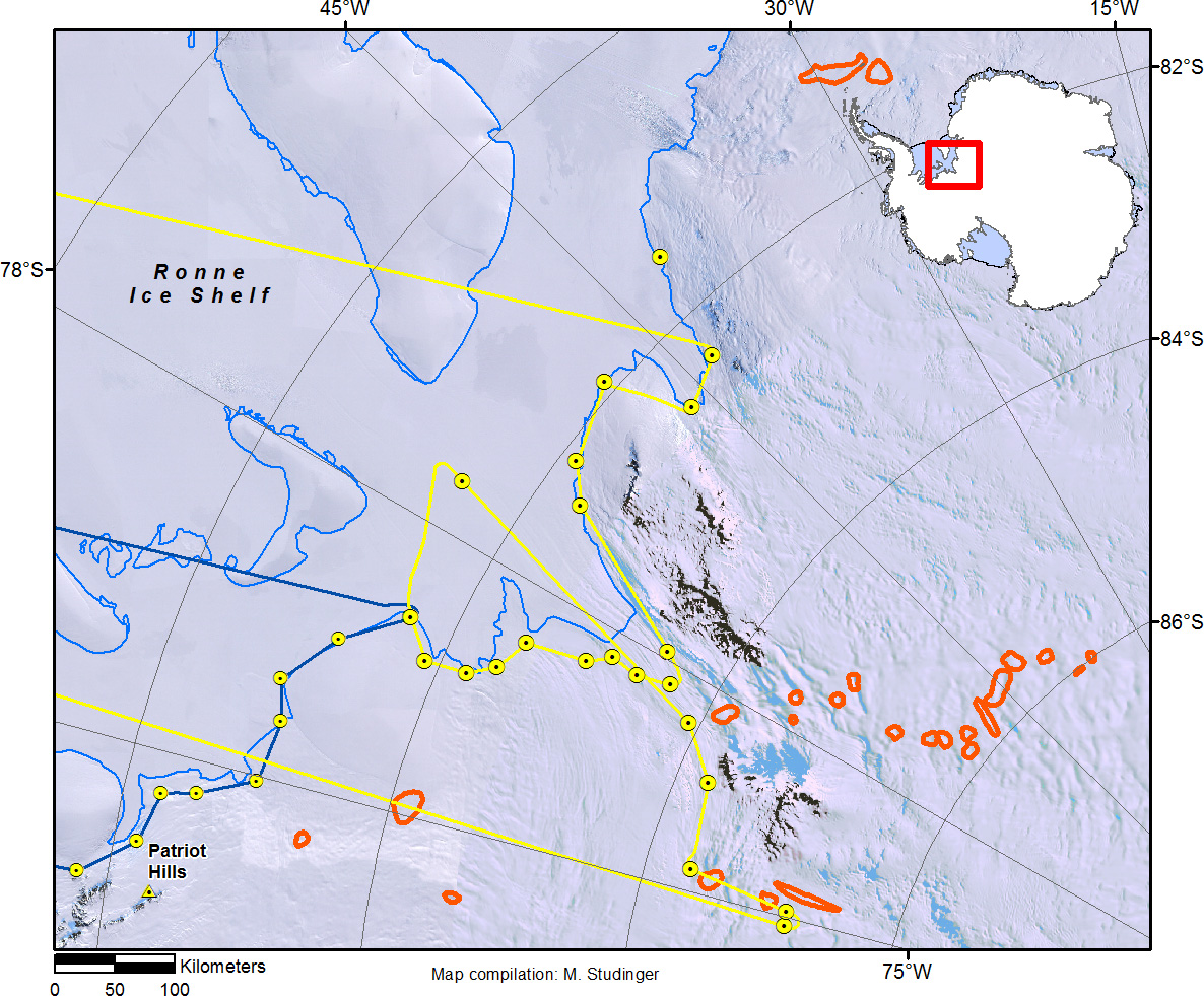
Trajectory of today’s science mission along the grounding line of the Ronne Ice Shelf (yellow line). The previous mission along the centerline of the Foundation Ice Stream is shown in dark blueplotted over the Landsat Image Mosaic of Antarctica (LIMA). Locations of subglacial lakes (red outlines) have been provided by Ben Smith, APL of University of Washington.
Credits
NASA/Michael Studinger
Subject
Aircraft
Mission