The Multiangle SpectroPolarimetric Imager, or AirMSPI, was a candidate for the multi-directional, multi-wavelength, high-accuracy polarization imager identified by the National Research Council's Earth Sciences Decadal Survey as one component of the notional Aerosol-Cloud-Ecosystem, or ACE, mission. The ACE spacecraft was planned to characterize the role of aerosols in climate forcing, especially their impact on precipitation and cloud formation. Forcing is the process by which natural mechanisms or human activities alter the global energy balance and “force” the climate to change. The unresolved effects of aerosols on clouds are among the greatest uncertainties in predicting global climate change. AirMSPI is conceptually similar to JPL’s Multiangle Imaging SpectroRadiometer, or MISR, carried on NASA’s EOS Terra spacecraft, but with some important additions. The new camera design extends the spectral range to the ultraviolet and shortwave infrared (from 446–866 nm to 355–2130 nm), increases the image swath (from 360 km to 680 km) to achieve more rapid global coverage (from 9 days to 4 days), and adds high-accuracy polarimetry in selected spectral bands. Like MISR, a suite of AirMSPI cameras would view Earth at a variety of angles, with an intrinsic pixel size of a few hundred meters, which for certain channels would be averaged up to about 1 kilometer.
An advanced version of this instrument is currently in development, called AirMSPI-2.
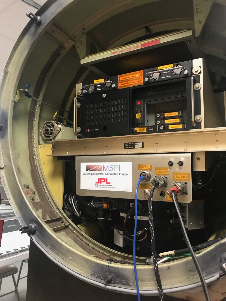
Airborne Multi-angle SpectroPolarimeter Imager
Instrument Type
Measurements
Aircraft
Recent Missions
Point(s) of Contact
(POC; PI)
Range of Measurement
Ground
Instrument Pointing
Nadir (directly downwards)Downwards pointing but not directly downwards
Pointing Angles
variable between ±75, typical: 70, 60, 45, 26
Swath Width
11000.00 m (at 20 km)
Horizontal Resolution
55.00 m (at 20 km)
Measurement Wavelengths
Data Delivery
Level 1B2 georectified images are delivered within 6 weeks
Mission-Specific Writeups
Document
TRL
9
Data Website
Publications
Diner, D.J., et al. (2010), First results from a dual photoelastic modulator-based polarimetric camera, Appl. Opt., 49, 2929-2946.
Diner, D.J., et al. (2007), Dual photoelastic modulator-based polarimetric imaging concept for aerosol remote sensing, Appl. Opt., 46, 8428-8445.
Xu, F., et al. (2018), Coupled Retrieval of Liquid Water Cloud and Above-Cloud Aerosol Properties Using the Airborne Multiangle SpectroPolarimetric Imager (AirMSPI), J. Geophys. Res., 123, 3175-3204, doi:10.1002/2017JD027926.
Van Harten, G., et al. (2018), Calibration and validation of Airborne Multiangle SpectroPolarimetric Imager (AirMSPI) polarization measurements, Appl. Opt., 57, 4499-4513, doi:10.1364/AO.57.004499.
Groups
Disclaimer: This material is being kept online for historical purposes. Though accurate at the time of publication, it is no longer being updated. The page may contain broken links or outdated information, and parts may not function in current web browsers. Visit https://espo.nasa.gov for information about our current projects.