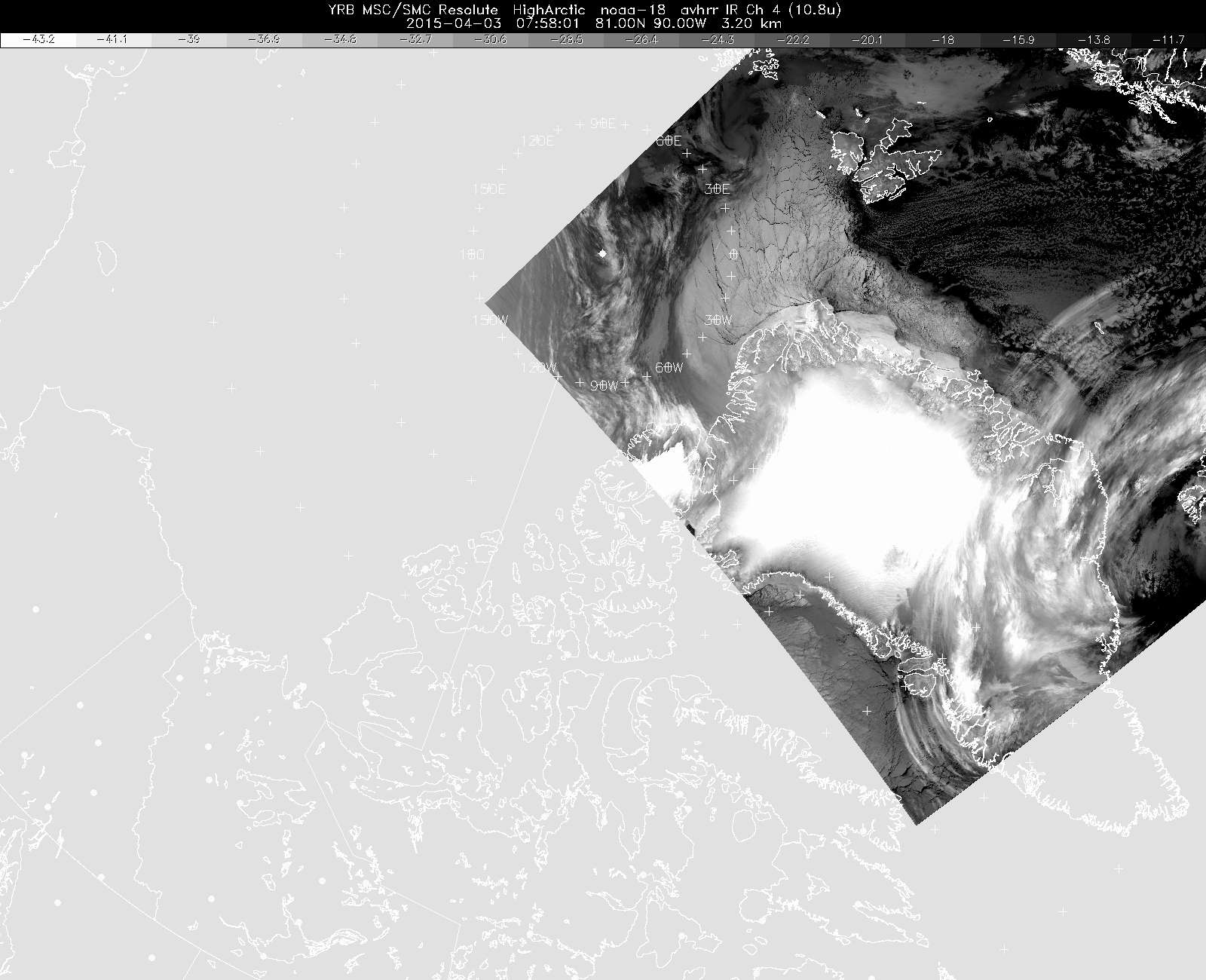
The infrared satellite image which we based our "go" decision on this morning, along with several weather model products. Note that this image does not cover the Canada Basin, which lies west of Canada's Queen Elizabeth Islands. It does however show the weather front north and west of Thule, and it matched the model prediction, and this gave us confidence in the model's prediction of clear skies farther west.
Subject
Mission