Status
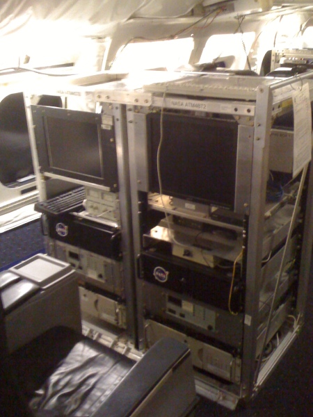
The Airborne Topographic Mapper (ATM) was a scanning LIDAR developed and used by NASA for observing the Earth's topography for several scientific applications, foremost of which is the measurement of changing arctic and antarctic icecaps and glaciers. It typically flies on aircraft at an altitude between 400 and 800 meters above ground level, and measures topography to an accuracy of ten to twenty centimeters by incorporating measurements from GPS (global positioning system) receivers and inertial navigation system (INS) attitude sensors.
The ATM instruments was based at NASA's Wallops Flight Facility (WFF) in Virginia. They commonly fly aboard the NASA P3-B based at WFF and have flown aboard other P-3 aircraft, the NASA DC-8, several twin-otters (DHC-6), and a C-130; they can fly on most Twin Otter/King Air-class aircraft. The ATM has flown surveys in Greenland nearly every year since 1993. Other uses have included measurement of sea ice, verification of satellite radar and laser altimeters, and measurement of sea-surface elevation and ocean wave characteristics. The altimeter often flies in conjunction with a variety of other instruments. The ATM has been participating in NASA's Operation IceBridge since 2009.
The ATM program was terminated in 2022.