Trajectory map of today’s science mission

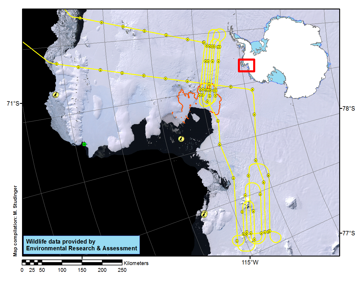
Trajectory of today’s science mission over Pine Island, Thwaites, Smith and Kohler Glaciers flown at high altitude (yellow line). Wildlife data have been provided by Environmental Research & Support in support for the National Science Foundation.

Credits
NASA/Michael Studinger
Subject
Aircraft
Mission


Disclaimer: This material is being kept online for historical purposes. Though accurate at the time of publication, it is no longer being updated. The page may contain broken links or outdated information, and parts may not function in current web browsers. Visit https://espo.nasa.gov for information about our current projects.