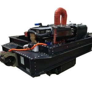
The Enhanced MODIS Airborne Simulator (EMAS) is a multispectral scanner configured to approximate the Moderate-Resolution Imaging Spectrometer (MODIS), an instrument orbiting on the NASA Terra and Aqua satellites. MODIS is designed to measure terrestrial and atmospheric processes. The EMAS was a joint development project of Daedalus Enterprises, Berkeley Camera Engineering, the USU Space Dynamics Laboratory, and Ames Research Center. The EMAS system acquires 50-meter spatial resolution imagery, in 38 spectral bands, of cloud and surface features from the vantage point of the NASA ER-2 high-altitude research aircraft.
Instrument Type: Multispectral Imager
Measurements: VNIR/SWIR/LWIR Imagery


