IMPACTS

Winter snowstorms are frequent on the eastern seaboard and cause major disruptions to transportation, commerce, and public safety. Snowfall within these storms is frequently organized in banded structures that are poorly understood by scientists and poorly predicted by current numerical models. Since that last study on snowstorms, the capabilities of remote sensing technologies and numerical weather prediction models have advanced significantly, making now an ideal time to conduct a well-equipped study to identify key processes and improve remote sensing and forecasting of snowfall.
The Investigation of Microphysics and Precipitation for Atlantic Coast-Threatening Snowstorms (IMPACTS) will fly a complementary suite of remote sensing and in-situ instruments for three 6-week deployments on the ER-2 and P-3 aircraft. IMPACTS will address three specific objectives, providing observations critical to understanding the mechanisms of snowband formation, organization, and evolution. IMPACTS will also examine how the microphysical characteristics and likely growth mechanisms of snow particles vary across snowbands. IMPACTS will improve snowfall remote sensing interpretation and modeling to significantly advance predictive capabilities.
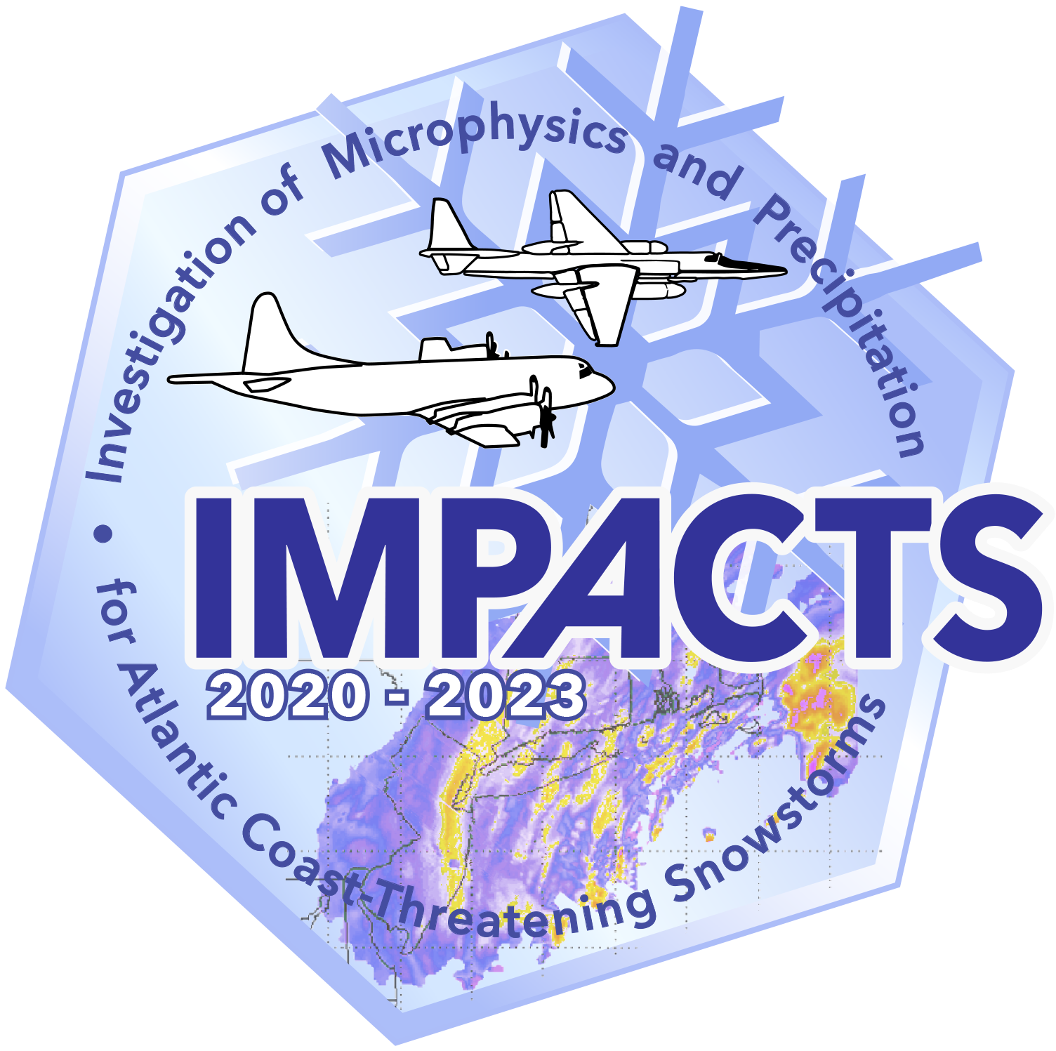
INSTRUMENTS AND AIRCRAFT

The IMPACTS airborne instrument suite provides a synergistic range of measurements for snow process studies. It combines advanced radar, lidar, and microwave radiometer remote sensing instruments on the ER-2 with state-of-the-art microphysics probes and dropsonde capabilities on the P-3 to sample US East Coast winter storms. By flying the two aircraft in an approximately vertically stacked coordinated pattern, with flight legs generally orthogonal to the snowband orientation, the instrument suite provides approximately collocated dynamical and microphysical measurements that advance our understanding of processes in winter storms.

IMPACTS collects data from a “satellite-simulating” ER-2 and in-situ measurements from a cloudpenetrating P-3, augmented by ground-based radar and rawinsonde data, multiple NASA and NOAA satellites [including GPM, GOES-16, and the Joint Polar Satellite System (JPSS)], and computer simulations. The ER-2 and P-3 provide the flight-altitude and long-endurance capabilities and payload capacity needed for the combined remote sensing and in-situ measurements.

Take a look at our 2020 Field Catalog for information regarding our first Winter Campaign.

A Day in the Life on an IMPACTS Instrument Operator