The overarching goal of ARCSIX is to quantify the contributions of surface properties, clouds, aerosol particles, and precipitation to the Arctic summer surface radiation budget and sea ice melt during the early melt season (May through mid-July). It encompasses three main science questions and one objective:
- Science Question 1 (Radiation): What is the impact of the predominant summer Arctic cloud types on the radiative surface energy budget?
- Science Question 2 (Cloud Life Cycle): What processes control the evolution and maintenance of the predominant cloud regimes in the summertime Arctic?
- Science Question 3 (Sea Ice): How do the two-way interactions between surface properties and atmospheric forcings affect the sea ice evolution?
- Remote Sensing and Modeling Objective: Enhance our long-term space-based monitoring and predictive capabilities of Arctic sea ice, cloud, and aerosols by validating and improving remote sensing algorithms and model parameterizations in the Arctic.
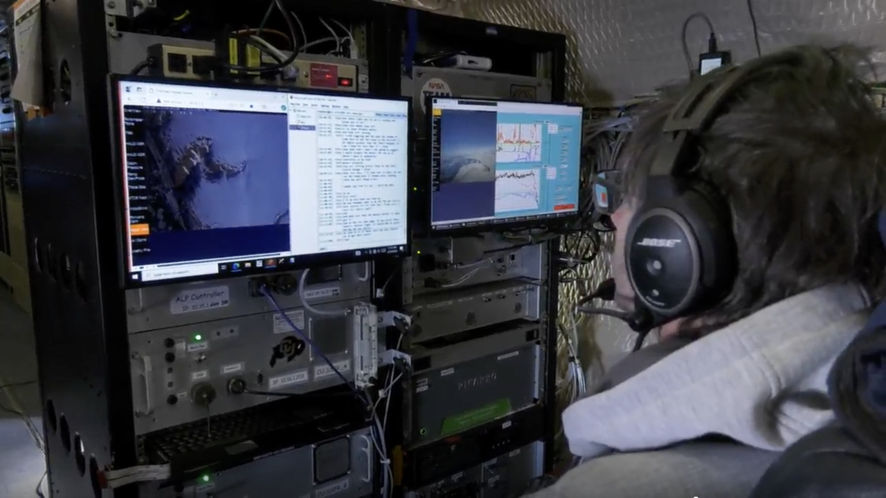
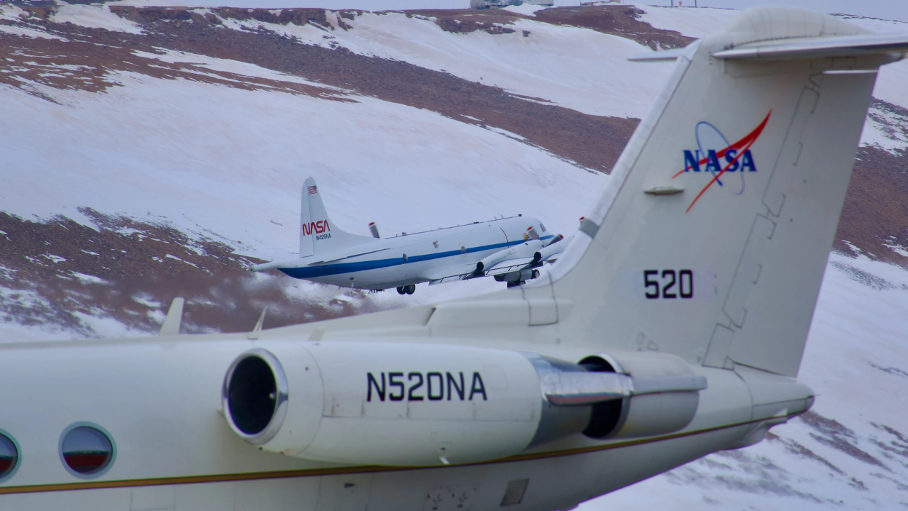
To accomplish ARCSIX science and objectives, two aircraft will fly in coordination. One will acquire in-situ aerosol particle, cloud, atmospheric, and surface properties along with radiation below, above, and inside a cloud layer, while the other will serve as a bridge to satellite observations by surveying with heritage and novel remote sensing instruments from above. This will provide the required near-simultaneous characterization of radiative fluxes, surface, and cloud properties to address Science Questions 1 and 3. Statistical sampling of cloud vertical structure, temperature, and humidity profiles complemented by simultaneous remote sensing will address Science Question 2 and the Remote Sensing and Modeling Objective. To extrapolate the spatially and temporally limited field observations beyond ARCSIX itself, the ARCSIX airborne data will be integrated with satellite remote sensing observations and model simulations. Targeted sampling of distinct regimes defined by cloud type and the associated prevailing surface and meteorological conditions will enable more useful combinations of airborne and satellite remote sensing observations along with model simulations. This combination of observations and model simulations will push the performance of remote sensing algorithms towards more realism for a variety of conditions and culminate in a more realistic depiction of radiative processes, cloud life cycles, sea ice evolution in climate, regional forecast, and process models.


