
Airborne Visible/Infrared Imaging Spectrometer (AVIRIS-Classic)
Status
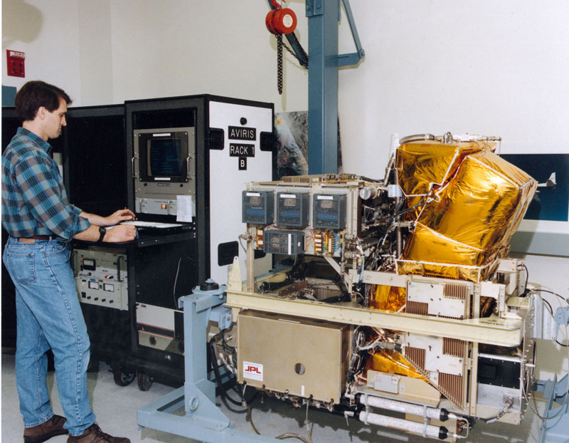
AVIRIS instrument undergoing pre-flight checks
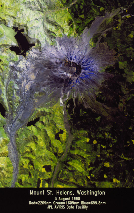
AVIRIS image of Mount St. Helens
AVIRIS is the second in a series of imaging spectrometer instruments developed at the Jet Propulsion Laboratory (JPL) for earth remote sensing. It is a unique optical sensor that delivers calibrated images of the upwelling spectral radiance in 224 contiguous spectral channels (bands) with wavelengths from 380 to 2510 nanometers. It uses scanning optics and four spectrometers to image a 677 pixel swath simultaneously in all 224 bands. AVIRIS has flown in North America, Europe, and portions of South America.
The AVIRIS sensor collects data that can be used for characterization of the Earth's surface and atmosphere from geometrically coherent spectroradiometric measurements. This data can be applied to studies in the fields of oceanography, environmental science, snow hydrology, geology, volcanology, soil and land management, atmospheric and aerosol studies, agriculture, and limnology. Applications under development include the assessment and monitoring of environmental hazards such as toxic waste, oil spills, and land/air/water pollution. With proper calibration and correction for atmospheric effects, the measurements can be converted to ground reflectance data which can then be used for quantitative characterization of surface features.