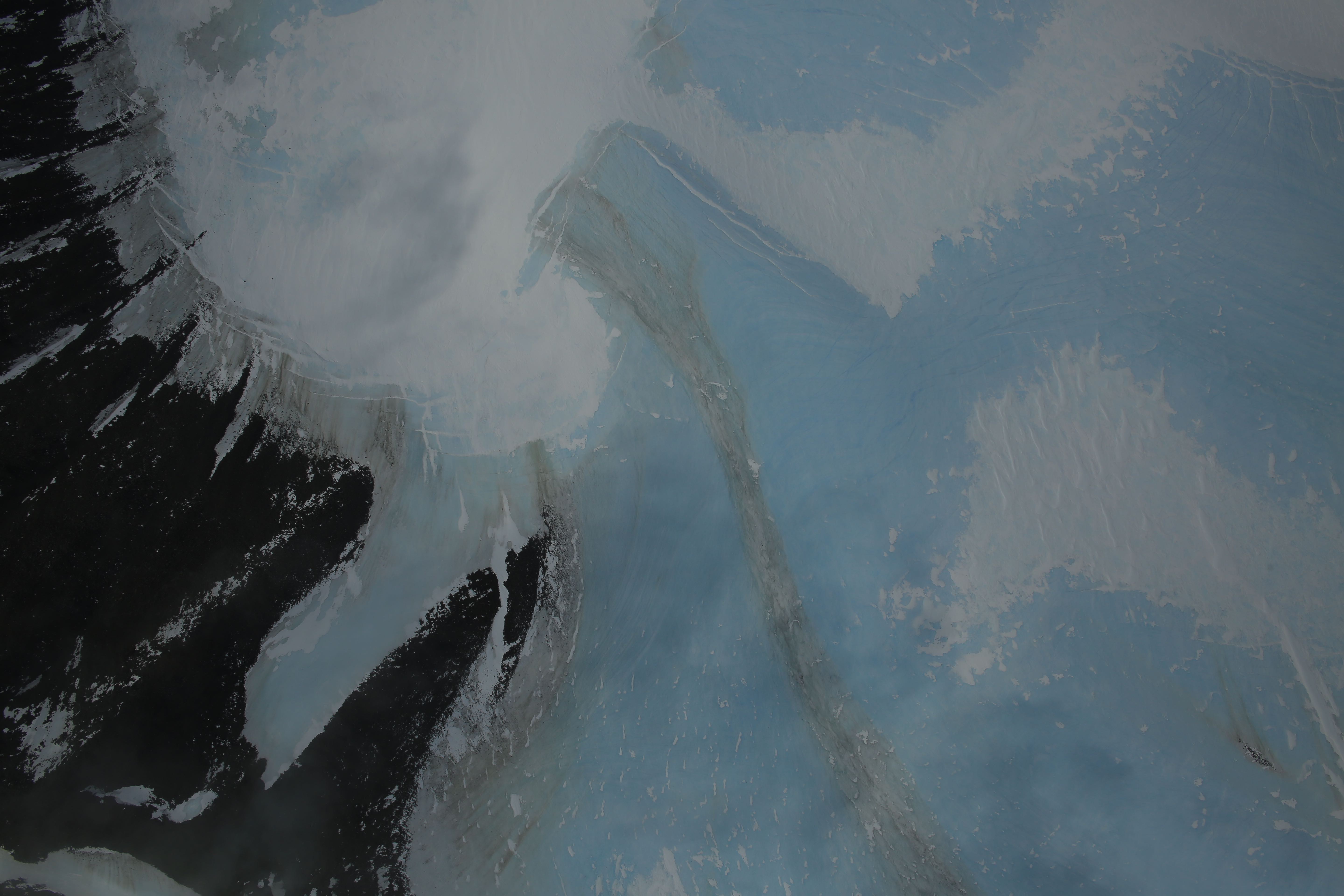
Dirty blue ice, Antarctic Peninsula
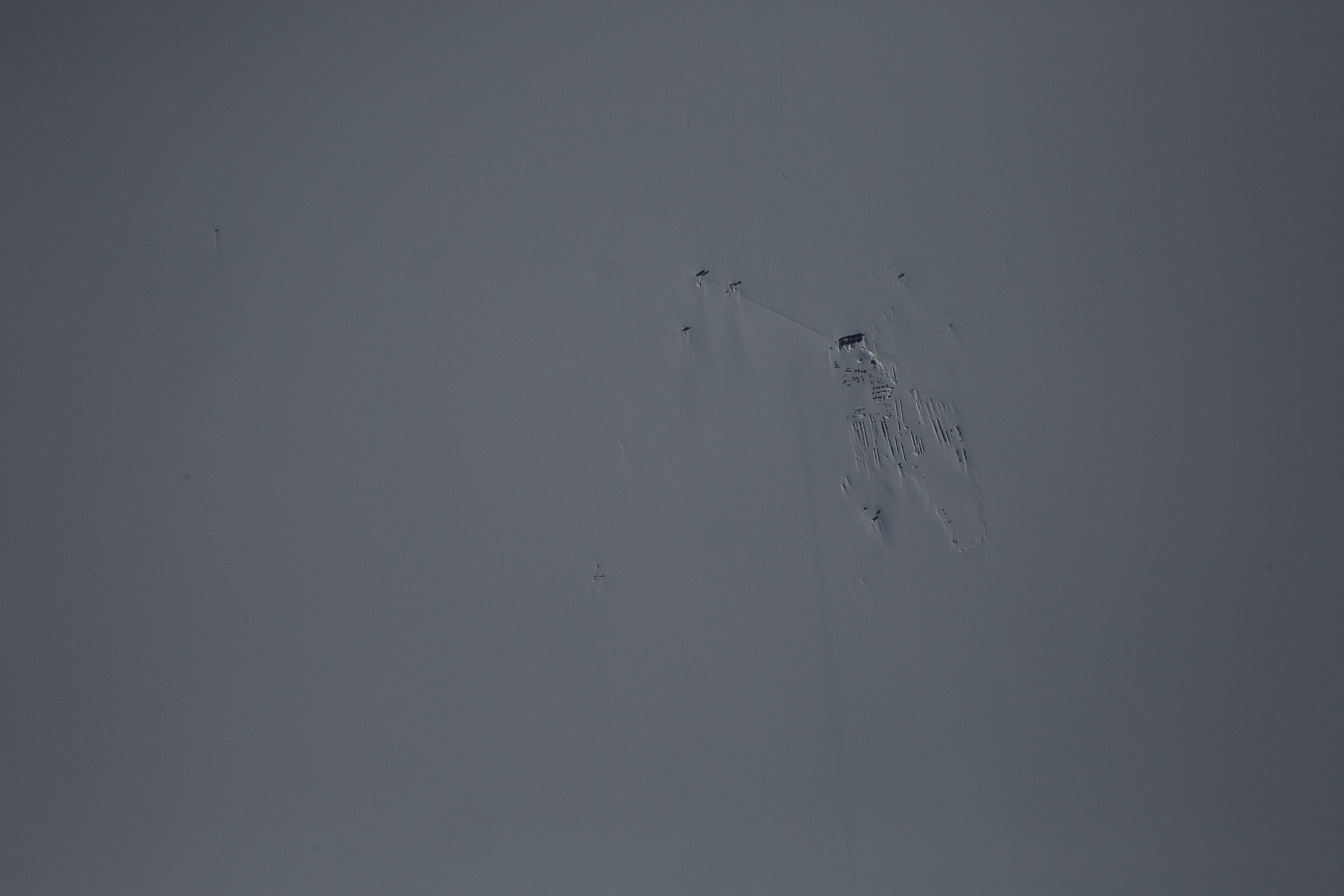
Nadir view of South Pole Station from 20,000’ AGL
R/V Lance Overfloewn By OIB
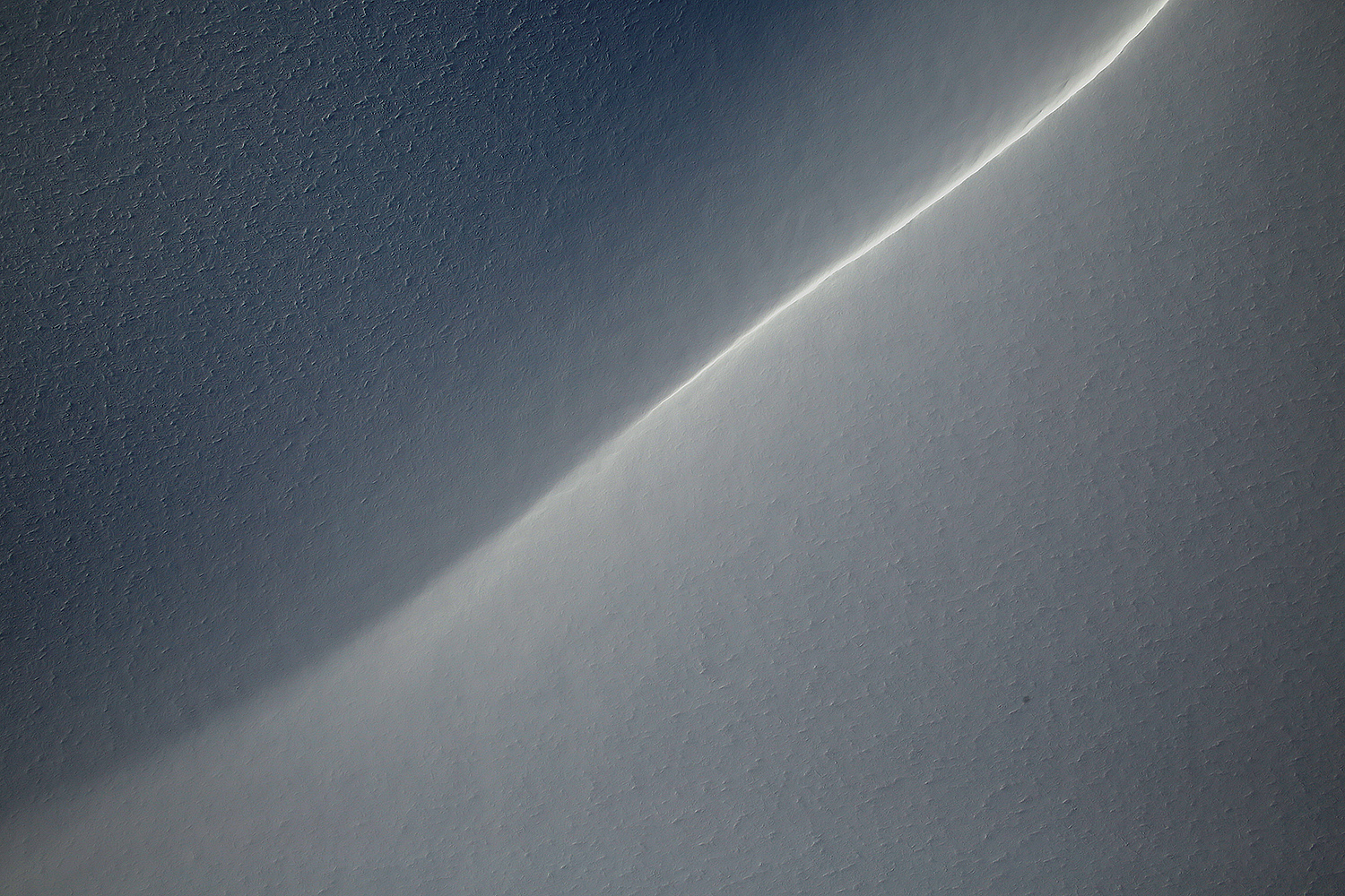
Figure 2: DMS image of the surface expression of the grounding line of Hercules Inlet.
Figure 2: DMS image mosaic of a small glacier showing some low clouds. Credit: DMS/NASA.
DMS image of one of the start/end of the main survey grid.
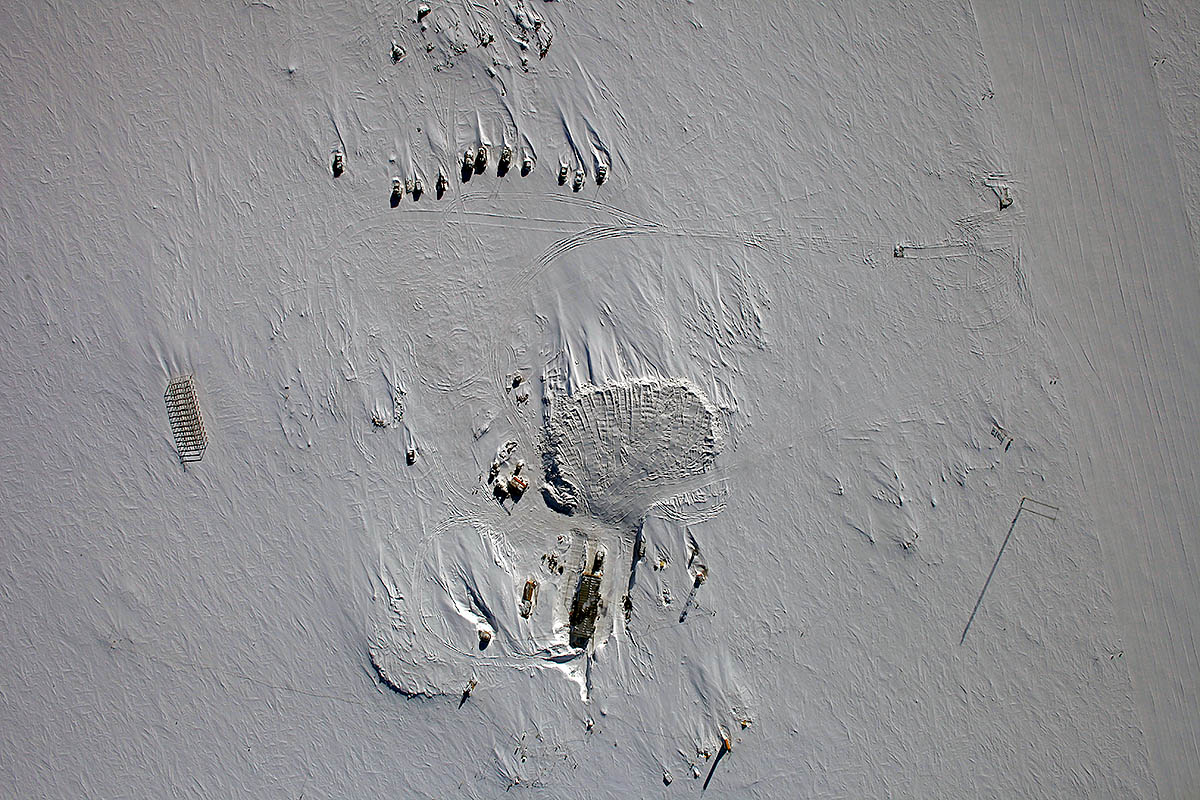
DMS image of Vostok Station
DMS mosaic of crevasses on MacAyeal Ice Stream (formerly Ice Stream E)
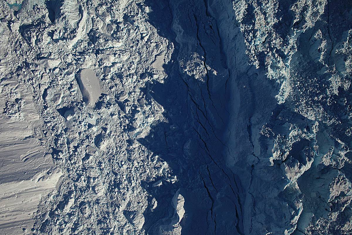
DMS image of the calving front of Jakobshavn Isbræ
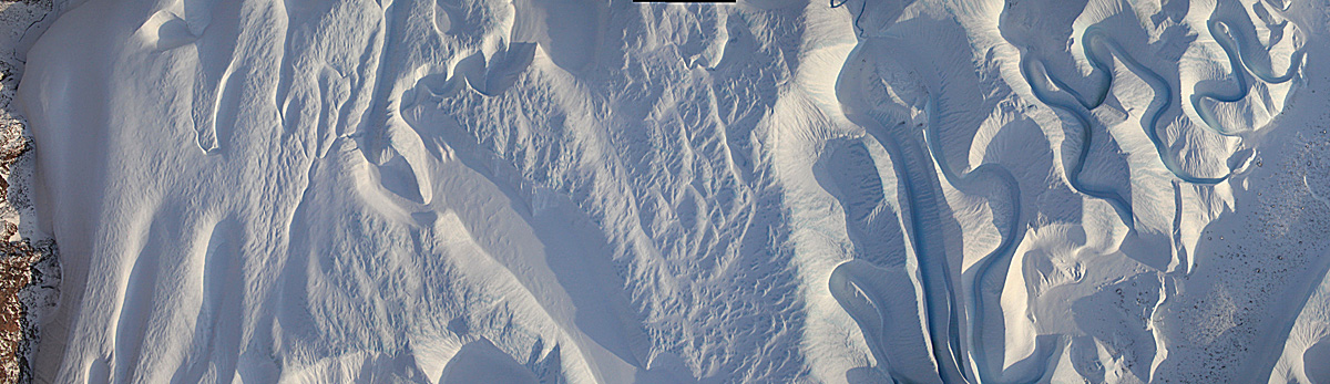
DMS image mosaic of melt water channels
Pages