Disclaimer: This material is being kept online for historical purposes. Though accurate at the time of publication, it is no longer being updated. The page may contain broken links or outdated information, and parts may not function in current web browsers. Visit https://espo.nasa.gov for information about our current projects.
NASA Begins Final Year of Airborne Polar Ice Mission
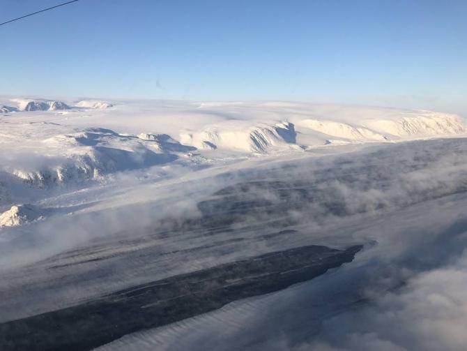
This is the last year for Operation IceBridge, NASA’s most comprehensive airborne survey of ice change. Since the launch of its first Arctic campaign in spring 2009, IceBridge has enabled discoveries ranging from water aquifers hidden within snow in southeast Greenland, to the first map indicating where the base of the massive Greenland Ice Sheet is thawed, to detailed depictions of the evolving Arctic sea ice cover and the thickness of the overlying snow.

